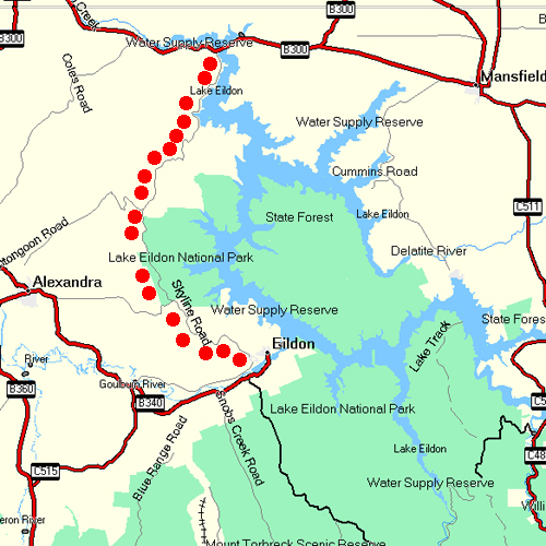
The Skyline rd is approx 30 kilometres in length and follows ridges along the Eastern edge of Lake Eildon . Beginning at Eildon Township in the south through Fraser National Park to Boonie Doon in the North and the main highway to Mansfield and Benalla.
The Lake was constructed in the mid 1950’s and is an integral part of the Goulburn River Irrigation system.
and was recently up graded
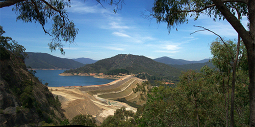
View from Mt Pinninger
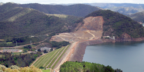
Mt Pinninger and Easts lookout provide views of either direction at the dam wall which was
raised 80 m with rock excavated from western edge.
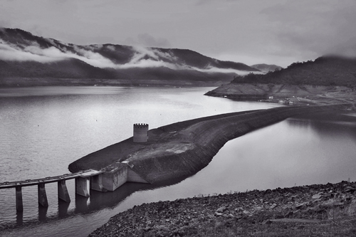
Low water with original wall uncovered
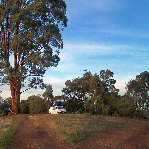
One of many photographic vantage points along Skyline
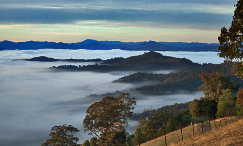
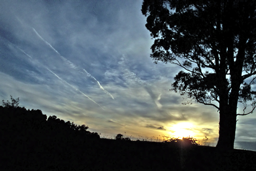
Early morning from the above location
Sunrise with jet contrails from same location

Looking south towards Mt Torbreck, lower pondage on right.
Special Photographic Features or Notes.
Photographically the road has many interesting stopping points and lookouts which in winter can provide low lying morning fog, interesting sunrises and distant snow fields. Views to Alexandra in the west, and a drive through forest and farms. For the energetic and fit, park at the Jimmy Spur Lookout in Fraser Nat Park and follow the track down to waters edge, 6 klms return hard.
Among the many areas of photographic interest are Jerusalem Creek, a short drive east of the township with house boats, caravan and bush camping, Alexandra which is 12 kilometers to the west of Fraser National park entrance along UT creek rd , Following the Goulburn river downstream from the dam offers numerous river access points with interesting bridges and river walks, the flow is dependant on release of water from the pondage below the dam. A walk around the lower pondage offers a few hours of photography.
Best Time To Shoot.
“The Golden Hours” which means getting up pre dawn




Wow, lovely area — Hey Neville… Lovely photos… Boy you sure can find some lovely areas around Victoria.
BP